Zpět
Zeleň Parky ve městě Čertův pahorek
Devil’s Hill
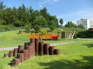
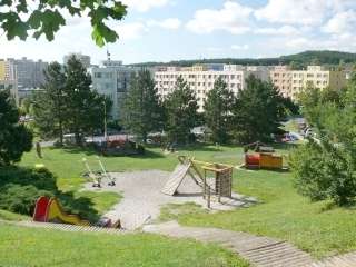 At the top of the hill near Školní Street stands a larch forest interspersed with pines and spruces. On the grassy eastern side is a new children’s playground, separated from the road by a wall of spreading pines.
It was once an isolated copse on a barren, rocky hilltop, towering above the vast fields. From the 1950s onwards, it gradually became surrounded by urban development.
In the imperial cadastral maps of 1839, it is simply referred to as ‘Pahorek’. Why and by whom it was named ‘Devil’s Hill’, when the hill above the Příbram Meat Processing Plant – shrouded in the legends of Svatá Hora – bears the same name, remains a mystery for the time being.
Text and photo: Ing. Petr Bílek, 2009
Sources:
Imperial Official Copies of the Permanent Cadastral Register of Bohemia, Moravia and Silesia, 1836
Updated: 31. 5. 2026 v 22:01:40

