Pribram.eu O městě Ekonomika města Dotace a granty Dotace získané městem Operační program Životní prostředí 2007–2013 Updating and digitisation of the Příbram Municipal Authority’s flood plan
Zpět
Dot. získ. mě. Op. pr. Ži. p. Ak. a dig. po.
Updating and digitisation of the Příbram Municipal Authority’s flood plan

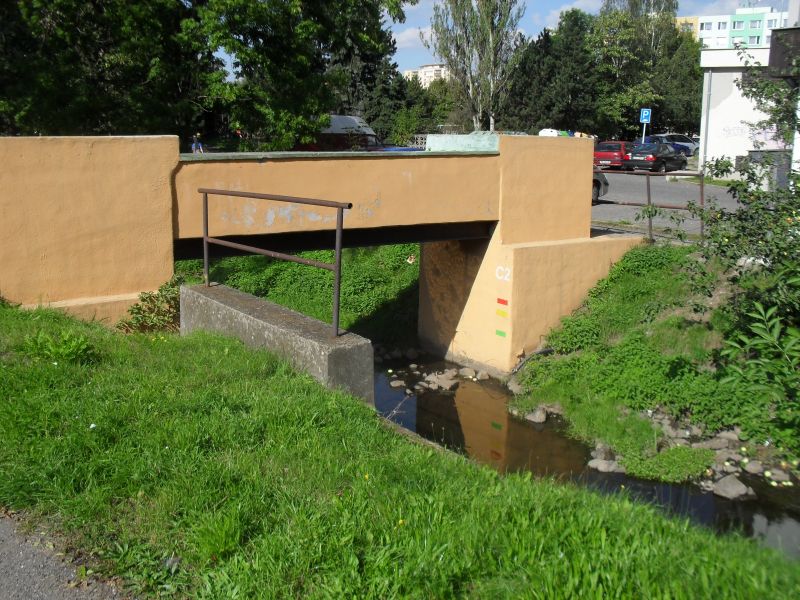
| Project title | Updating and digitisation of the Příbram ORP flood plan, including the construction of Category C reporting profiles |
| Operational Programme | Operational Programme Environment |
| Brief description of the project | The aim of the project was to update and digitise the flood plan for the Příbram Municipal Authority, including the construction of 11 Category C monitoring profiles on the following watercourses: the Příbramský stream, the Litavka, the Obecnický stream, the Kocába, Hrádecký Stream, Lazský Stream, Modřejka, Svojšický Stream, Těšínský Stream and Skalice. The aim of the project was to digitise the Příbram Municipal Authority’s flood plan and to enable better integration of the flood plans of the municipalities within the Příbram Municipal Authority’s jurisdiction with the already digitised flood plan of the Central Bohemian Region. The digital flood plan is available on the City of Příbram’s website (www.pribram.eu). |
| Total expenditure on the project | CZK 1,793,436.00 |
| CZK 1,793,436.00 |
| CZK 0.00 |
| Total grant awarded from the OP Environment | CZK 1,614,092.40 |
| Co-financing from the town’s own resources (including ineligible expenditure) | 179,343.60 Kč |
| Implementation period | December 2011 – December 2012 |
Press reports
- Příbram has already secured a grant to update and digitise its flood plan – PB Deník, 27 July 2010
- Digital flood plan – Periskop 20 August 2010 (236.35 kB)
Photographic documentation
Updated: 6. 5. 2014 v 10:42:12

